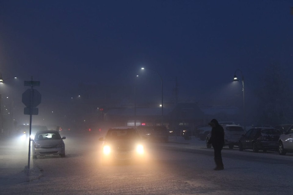
A warm spell felt across the territory is set to come to an abrupt end, with temperatures expected to plunge in the coming days and into next week.
Environment Canada’s seven-day forecast projects colder temperatures for all regions in the NWT.
Following a frigid, weeks-long cold snap earlier this month, temperatures rose across the territory in the last week or so, with many communities, particularly in the North Slave and South Slave regions, experiencing daily highs hovering around minus 14.
The warmer weather won’t be sticking around.
In the capital, forecasters are calling for a low of -20 C Friday, a drop from Thursday’s nighttime low of minus 17.
By Saturday, Yellowknife is expected to see a high of -20 and a low of -22.
Lows of -26 and -29 are expected to hit Yellowknife on Sunday and Monday, respectively.
Across Great Slave Lake, forecasters are also predicting plummeting temperatures in the South Slave.
Enterprise is expected to experience a high of - 23 Con Jan. 8, a significant drop from a high of minus 12 recorded on Jan. 2. The forecast projects a similar, steady cooling of temps in Fort Providence and across the South Slave region.
The seven-day outlook is the same for the Dehcho, Sahtu and Inuvik regions, with many communities expected to be hit with temperatures below - 30 C in the coming days.