Strong northwest winds in the forecast for this weekend could have grave consequences for Yellowknife.
An update was posted to NWT Fire’s website at 11 a.m. Aug. 18.
“These fires remain out of control,” reads the notice. “Critical, challenging days ahead – with two days of northwest to west-northwest winds on Friday and Saturday, which would push fire towards Yellowknife and the Ingraham Trail. Wind expected to range from 25-35 km/h sustained, gusting up to 50 km/h at times. These winds would push both the Behchoko/Yellowknife Fire and the Ingraham Trail to the east and south – which is where we don’t want them to be. Clearer skies this morning should allow flights.
“New forecasts indicate possibility for some rain – between 1-3 mm at the Behchoko/Yellowknife fire and 3-5 mm at the Ingraham Trail and Dettah fires over the next 24 hours. As always, we can’t always count on the rain falling in the right places.”
Behchoko/Yellowknife Fire ZF015 is now 166,946 hectares in size, has passed Boundary Creek and now sits 15 km Northwest of Yellowknife Municipal Boundary. The closest marker on how the fire has progressed along the highway is Kilometre 314.
As of current, Behchoko itself is not considered under threat. However, the fire could still reach the city of Yellowknife by the weekend if conditions do not improve.
“There is a possibility that this fire reaches the outskirts of Yellowknife by the weekend driven by these northwest and west-northwest winds,” the notice advises. “Successful firefighting efforts have held back progression meaningfully over the last two days.
“Remember – just because fire reaches the highway or is nearby does not necessarily mean it is unsafe. Highway managers are piloting drivers through fire zones to assure safe travel for evacuees and will be sure drivers are going through tough conditions safely.
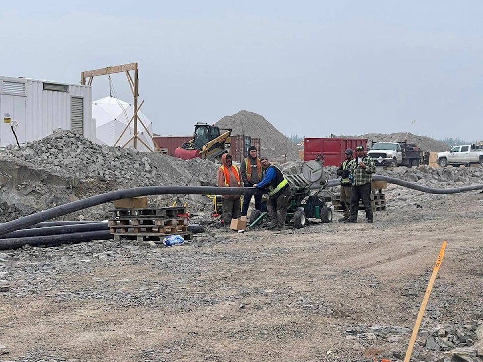
“Airtankers will continue to fly missions day and night to slow this fire down as it is pushed towards the City of Yellowknife by northwest winds. Buildings more than 10km of control line to the west of Yellowknife – with crews cutting line, heavy equipment expanding upon them, and fire retardant. Structure protection teams are at work on Highway 3 to prevent losses as possible – moving closer to Yellowknife day-by-day.
“An expansive network of fuel breaks, sprinklers, and other protective measures are being put in place by the City of Yellowknife and our team to prepare should the fire approach the community.
“We continue to maintain structure protection along Highway 3 – moving further down the highway closer to Yellowknife day by day. Crews continue mopping up around Behchoko and addressing any hotspots.”
Ingraham Trail Fire ZF011 is now 50,101 hectares in size. It is currently 4 km north of Prelude Lake, 9 km northeast of Prosperous Lake, 9 km northeast of River Lake, 10.5 km north of KM 34 on the Ingraham Trail and has reached the shores of Neck Lake, Island Lake and the Duncan Dam.
Three structures have been lost to the Ingraham Trail Fire to date.
“Minimal growth on this fire – in part due to successful firefighting efforts as visibility allowed more missions to be flown by heavy helicopters and airtankers. There is threat to all areas in the Ingraham Trail. Reaching the Ingraham Trail remains possible this weekend – though likely not today due to the successful firefighting efforts. Helicopters and airtankers will hit targets day and night to slow the growth of this fire as visibility allows.
“A retardant line has been established to the south of the fire to facilitate future ignition operations, slow growth, and provide a critical base of operations for crews.
“Structure protection is underway – crews are assessing options for protections at the north of Prosperous Lake, north of Prelude Lake, and River Lake. Many individuals heeded the call to take action in these areas – we applaud everyone who has been proactive.
“Further ignition operations – carefully planned, intentionally set fire to head off potential growth to the south being planned and prepared for. These will only go ahead if conditions allow – and winds will not allow them to be done for the next few days.”
Dettah Fire ZF085 is now 48,961 hectares in size. It is 29km southeast of Dettah, 7 km south of Jennejohn Lake and has reached the shores of Defeat Lake and Watta Lake and Hearne Lake.
”Dettah, Ndilo, Yellowknife, and the Ingraham Trail are not currently at risk due to this fire. Number one priority is working hand-in-hand with the Yellowknives Dene First Nation to prepare protections for Dettah. The fire has not reached Jennejohn Lake. With expected winds, it is not expected to do so in the coming days. The planned ignition operation has been delayed for the time being. Structure protection teams have assessed and sprinklered numerous cabins and other structures to the east of this fire in anticipation of the strong west winds.
“(We are) working closely with the Yellowknives Dene First Nation on proactive community protections including: Community-led deployment of a sprinkler line – with advice provided by the wildfire team, deploying a high volume water protection system to the community to bolster those protections and structure protection team continues to assess and prioritize protection of cabins and homes.”