The wildfire right on the cusp of Yellowknife probably won’t hit the city line this weekend. That doesn’t mean people can head home just yet, though.
The latest update on the Behchoko-Yellowknife fire came out early Saturday afternoon which indicated that the recent rainfall did help to keep the flames from growing too large. According to the weather station nearest the fire, 4 mm of rain fell over the past 24 hours, while the Ingraham Trail fire received around 2 mm. The Dettah fire saw around 1 mm of rain.
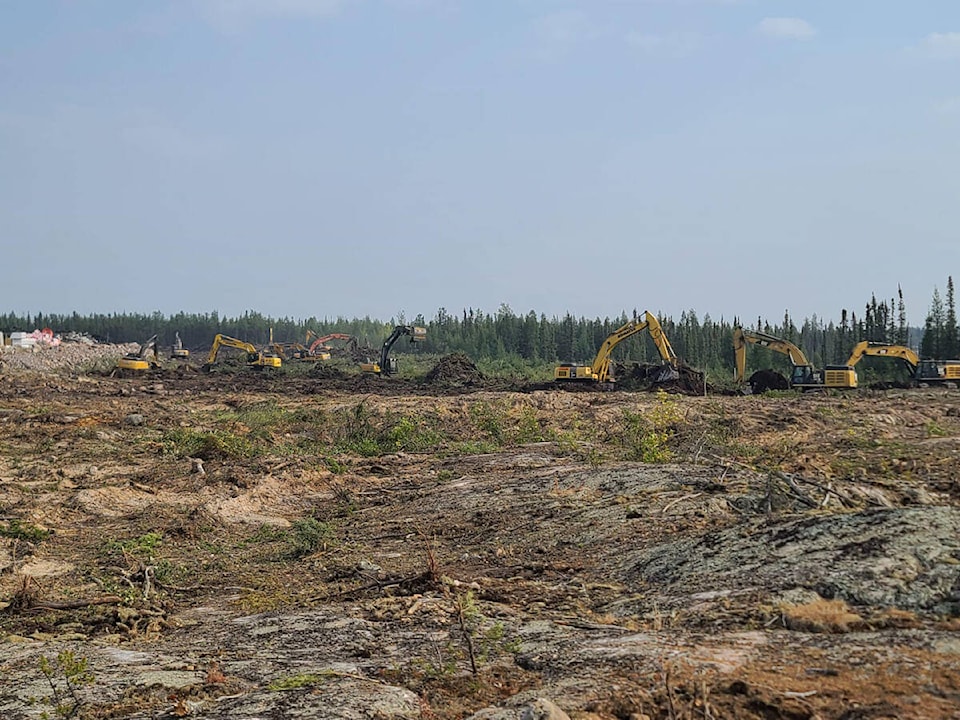
Mike Westwick, fire information office for the North Slave region, stated that the threat still remains and that small bit of rainfall the fires got still doesn’t make it safe to head back home.
The Behchoko-Yellowknife fire was estimated to be around 166,946 hectares and sat 15 km from the Yellowknife municipal boundary. It’s passed Boundary Creek and and sat at kilometre 314 on Highway 3.
Winds were expected to come from the west on Sunday, meaning the fire could push on toward the city. Westwick stated that the heaviest fire activity could happen between 12 p.m. and 8 p.m. on Sunday and it is now unlikely this fire would reach the outskirts of Yellowknife by the end of the weekend due to the slightly cooler-than-forecast conditions and help from the rain.
Westwick also said the teams was planning to do some infrared scanning of both the Yellowknife and Ingraham Trail fires on Sunday morning after all of the showers have passed through the area.
He added that it would give firefighters a better understanding of the condition of the fires and whether or not direct attack of the fire can be safe and successful.
Behchoko remains at low risk for fire thanks to the combination of burnt area around the community and a strong perimeter.
The Ingraham Trail fire sat at approximately 50,101 hectares and was 4 km north of Prelude Lake, 9 km northeast of Prosperous Lake and 10.5 km north of kilometre 34 of the trail. The entire trail is under threat — three structures have already been lost because of the fire.
The Dettah fire was mapped at approximately 48,961 hectares and sat around 29 km southeast of Dettah. The community, along with Ndilo, Yellowknife and the Ingraham Trail are not at risk from the fire, but Westwick stated that protecting the area and helping the Yellowknives Dene First Nation is the priority.