Though many people have never heard of Geographical Information Systems (GIS), they likely use the technology or are impacted by its use in some way, according to Celtie Ferguson, GIS technician intern with Aurora Research Institute (ARI). That's why she thinks its important to be hosting the world's Northernmost GIS Day event.
"I think it is important because GIS and geography is relevant in everyone's lives … most people I know have used Google Maps at some point in their life, which is an application of these. Even if you're not using technology, if you're working with any kind of information with a spatial component – that's GIS and geography right there," said Ferguson. "Ninety per cent of people, if you say, 'What is GIS?' no one will have heard of it before. So I think it's important to create awareness about this industry that is super relevant to everyone."
Samantha McKay/NNSL photo
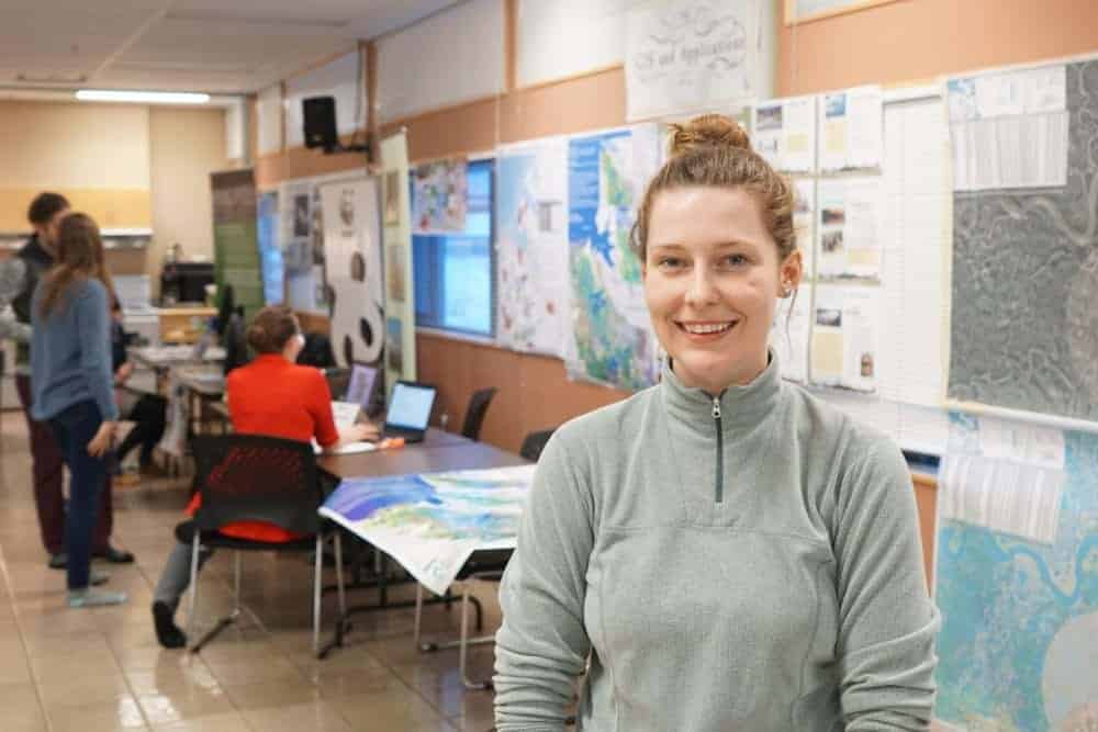
Inuvik's GIS day took place Nov. 13 at the Aurora College campus. Ferguson co-organized the event with her team at ARI.
The day is part of Geography Week, an international week that aims to honour and bring awareness to the subject of geography. Ferguson says GIS Day has been part of Geography Week since the 1990s, and is important to include as it is simply a more specific application of geography.
At Inuvik's GIS Day, local organizations that deal with geographical applications were invited to set up informational booths.
The NWT Centre for Geomatics, Parks Canada, the Department of Environment and Natural Resources, and ARI had booths, among others.
Inukshuk Geomatics, a division of the Inuvialuit Development Corporation, had a booth at the event. Ferguson highlighted Inukshuk Geomatics' work as an everyday application of GIS and geography.
"They did geographical surveying, created maps and performed analysis on those maps to assist with building the Inuvik-Tuktoyaktuk Highway," she said.
Part of the week's festivities included bringing GIS and geography programming to the elementary and high schools.
Ferguson said several organizations, such as Parks Canada and ARI, will be running 20-minute activities with students on topics such as creating and reading maps, wildlife monitoring and how satellites work. There will also be a module that looks at the cultural and community ties between traditional knowledge and GIS and geography.
The final aspect of Geography Week is ARI's scavenger hunt challenge. Ferguson said there are five ARI logos placed around Inuvik whose coordinates are posted on the ARI Facebook page. In order to complete the scavenger hunt, participants must plug the coordinates into their GPS, take a picture of themselves with the logo and send it into ARI.