What does reading a map, flying a drone, tracking caribou with radio signals and taking radar images from space all have in common?
They're all aspects of the sciences of Geography and Geomatics (GIS) — the study of the Earth through people, places and wildlife. Many facets of the trade were on display throughout Inuvik for GeoWeek, which ran from Nov. 12-19 and involved a scavenger hunt through the Midnight Sun Complex Nov. 12 and was followed by lectures on how satellites use standard radar, synthetic aperture radar (SAR) and Interferometric SAR (InSar) given throughout the week in Inuvik and Tuktoyaktuk.
"Geomatics and geography have a big impact in this community," said co-organizer Celtie Ferguson. "A lot of different organizations use GIS in their everyday work. Geography is involved in truly every aspect of life. Anything that has a place associated with it is geography. It's applicable in the world of science but also in the arts and humanities."
Local services related to geography held activities related to what they do at the Amazing GeoRace — a scavenger hunt held at the Midnight Sun Complex that ran participants through a gauntlet of challenges that ranged from a game of Jeopardy! to taking photos with a CUBESat, which is a do-it-yourself satellite you can build and then book a space on a rocket to launch.
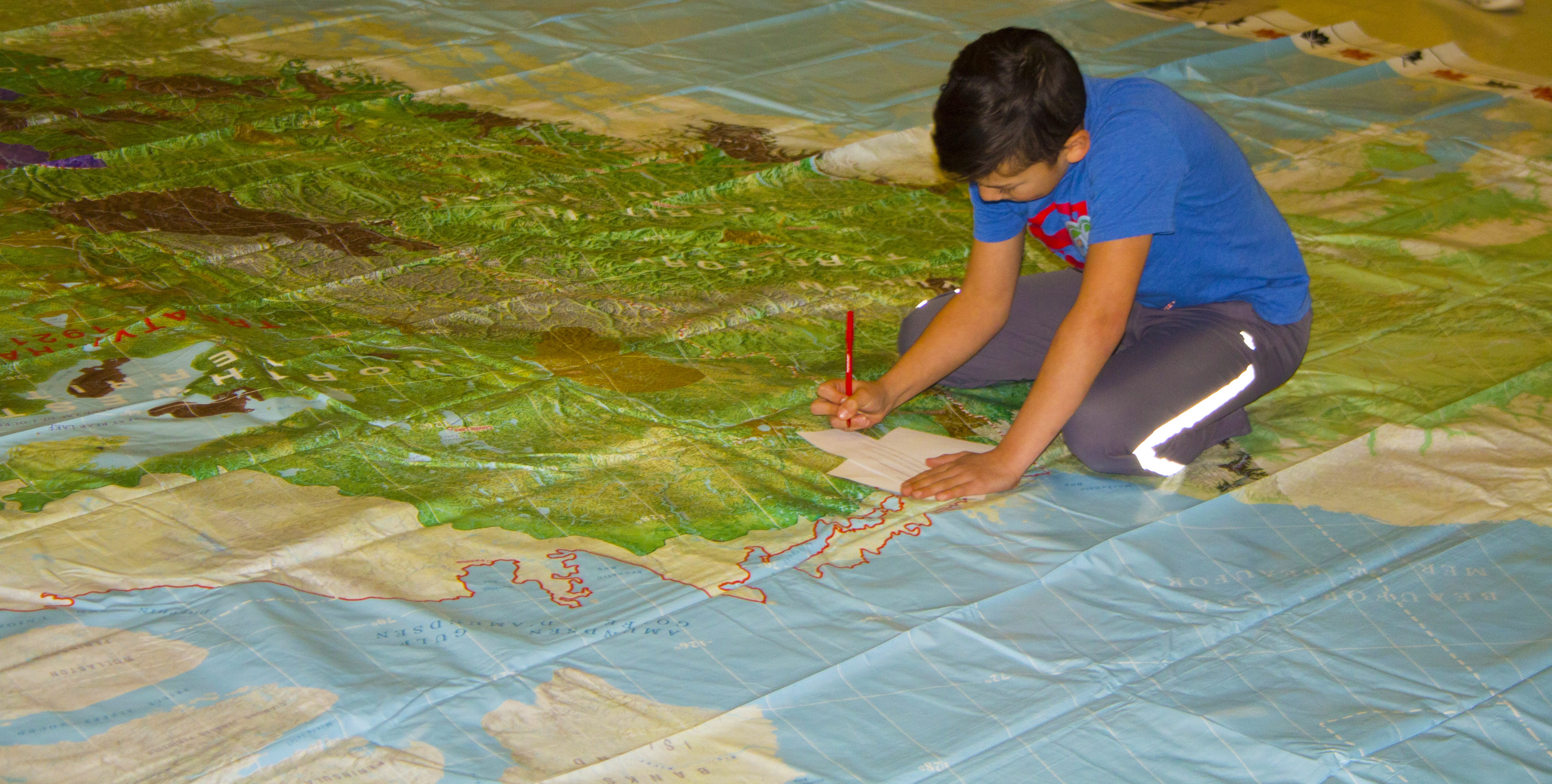
A gigantic map of Canada was rolled out for activities and viewing that showed a tremendous amount of information, ranging from traditional Indigenous territories, conservation areas and extents of permafrost, to name a few.
"This is our third annual GeoWeek in Inuvik, but this is the first time we've made this interactive scavenger hunt," said Ferguson. "In the past two years we've tried to raise awareness of the different organizations that use GIS, so this is a more fun, hands-on demonstration."
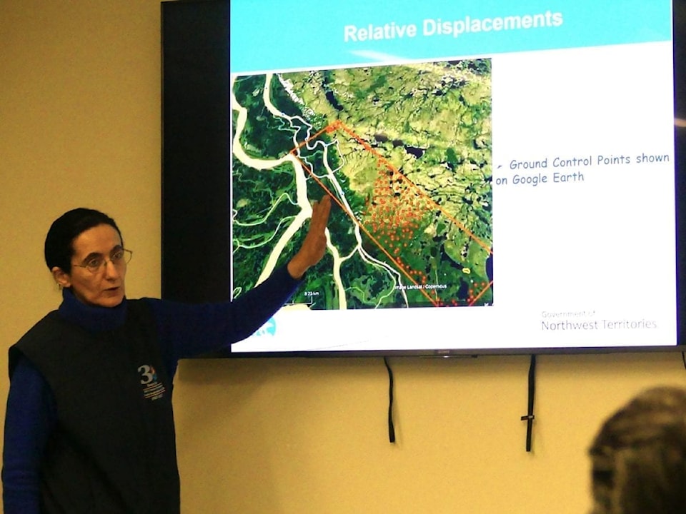
Mapping millimetres in elevation changes
Following the GeoRace, lectures were held throughout the week by Nanar Hakobyan, explaining how the Centre for Geomatics is mapping minute changes in elevation in areas around the Beaufort Delta to help inform both planning of future and upkeep of current infrastructure.

Using three techniques, radar, SAR and InSAR, the centre uses the Sentinel-1 satellite to track shifts upward or downwards of ground in millimetres, which is showing signs of increased activity from the thawing of permafrost in warmer months. Different points of interest are responding in different ways, with the Pw0 Quarry gravel pit appearing to increase in elevation and Caribou Hills appearing to decrease, but Hakobyan pointed out the study is limited by the number of passes they get on the satellite.
"For the area of interest and dates we were able to do it, we acquired only seven data sets for 2017 and a little bit more for 2018," she said. "The less time between passes to get data sets, the better. We have to make sure we have one stable point and the rest of the measurements are relative to that point.
"The surface is constantly changing, so the coherence between the first and second pass is changing. The more we get more images, the better our statistical results will be."
To compensate, they find other data that correlates their initial findings. To date, both the findings check out but more research is needed to confirm the evidence.
From here, the next step is to set up corner reflectors at the points of interest. These will give the satellites reference points to target so they can collect data when the Sentinel-1 both ascends and descends over the areas as well as allow for more precise measurements of points of interest.
"There is nothing you can detect at all time, usually they go by river bends," said Hakobyan. "Corner reflectors could be positions in the areas at all times, so the way the satellite moves you can use them as reference points. It doesn't change from image to image."
She noted it was important to have stronger and more accurate monitoring systems because of how rapidly the landscape was shifting.
"With climate change, we have to figure out how we are going to monitor what is going on at a big scale."