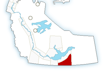
Two storms have triggered a severe thunderstorm warning in the Fort Smith area.
“Environment Canada meteorologists are tracking a severe thunderstorm capable of producing very strong wind gusts, nickel to ping pong ball size hail and heavy rain,” the agency posted at 9:28 p.m.
There are two severe thunderstorms, according to the warning.
The first is located near Fort Smith and is moving towards the northeast at 50 km/h.
The second is located approximately 135 km northeast of Fort Smith and is moving northeast at 50 km/h.
“Take cover immediately, if threatening weather approaches. Large hail can damage property and cause injury,” the weather alert continued. “Intense lightning is likely with any thunderstorm that develops. Lightning kills and injures Canadians every year. Remember, when thunder roars, go indoors!”
Severe thunderstorm warnings are issued when imminent or occurring thunderstorms are likely to produce or are producing one or more of the following: large hail, damaging winds, torrential rainfall.
Continue to monitor alerts and forecasts issued by Environment Canada. To report severe weather, send an email to NTstorm@canada.ca or tweet reports using #NTStorm.